(Haiti Libre) - 16/04/2015 13:07:23
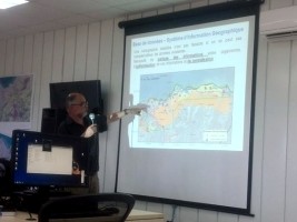 |
This presentation of 6 maps drawn to scale 1/25,000 took into account geological, geophysical and geotechnical measurements and allowed the authorities to know the 7 soil types for the two cities involved, but also the risks to which they are exposed.
Ronald Jean Pierre, the Mayor of Saint-Louis du Nord present at the restitution, believes that this information is a support point to allow the Haitian government to better assess the extent of seismic risk and prevent the consequences of a potential earthquake on the scale of cities "We are at a crossroads where a real urban planning is required in the far north. And these maps call for synergy at the departmental level to support the Town Councils so that they not only play their part in raising awareness of the population but also in the implementation of decisions that will limit the loss of life and property damage."
No comments:
Post a Comment